Cycling Across Canada: Canadian Shield
Guest post by Kane Mercer
Get the background on my cross-Canada cycling trip in memory of my dad.

Falcon Lake at dawn.
As I left Manitoba from Winnipeg to Falcon Lake, the terrain gradually changed from prairies to more and more forest. For me, it was really nice to finally see trees again after weeks without seeing any except for maybe the odd one dotting the horizon.
Yes, it was nice to be back in the forest. What’s more, the land gradually started undulating in waves with little hills and ancient rocks jutting out of the sides of the road in a way which was markedly different from the landscape in British Columbia. It was refreshing to see this variation in the landscape. I even enjoyed a couple of sunny days, yet just as I arrived in Kenora, ON, storms were on their way and I felt pressured to make my way through the barren terrain of Northern Ontario before they hit.
Now, before we move on to the rest of my time in Ontario, I’d like to talk a little bit about Kenora and how it captured my imagination. Kenora was the last major city for about 500 km until Thunder Bay, and it’s such a beautiful area of the countryside that I can understand why there’s so many people there despite the apocalypse-sized clouds of bugs swarming around constantly. Really, I couldn’t help but fall in love with that area a little bit.

Dusk on Lake of the Woods.
It’s based in the middle of a place called the Lake of the Woods. For those of you who don’t know what that is (I didn’t know before my trip either), it’s a huge network of interconnected lakes in the forest–a waterway with thousands of little islands that span their way through a large area.
Many people have cabins on their little islands and use boats to get around in the summer or just drive on the ice in the winter. I was really dumbfounded by this concept and it seems like something to me from a fantasy novel. I imagine that during the winter people will meet on the ice and play hockey and do things like that, but during the Summer it’s simply amazing–like a Venice, Italy of the woods. How cool is that? Anyway, I just wanted to mention Kenora because I thought it was a particularly interesting spot during the trip.
Although I had to face the rains in the middle of the forest, I took a southern route that passes through Fort Frances and Atikokan on its way through to Thunder Bay. I rode my bicycle through the night being pelted by mosquitoes and rain, some times seeing wildlife. Making my way gradually but surely I continued to pedal forward towards Thunder Bay in time for Canada Day. I struggled through, but made it in the evening before Canada Day to my Warm Showers host (similar to Couch Surfing but for cyclists).
I spent Canada Day in Thunder Bay and then went over the northern part of Lake Superior towards towards Sault Ste. Marie, stopping at the Terry Fox monument on the way. The hills were terrible, but the scenery was beautiful. It was some of the most barren unpopulated areas in my entire trip and in many respects, it could have been the toughest leg of my journey because of the way the elevation constantly changed.
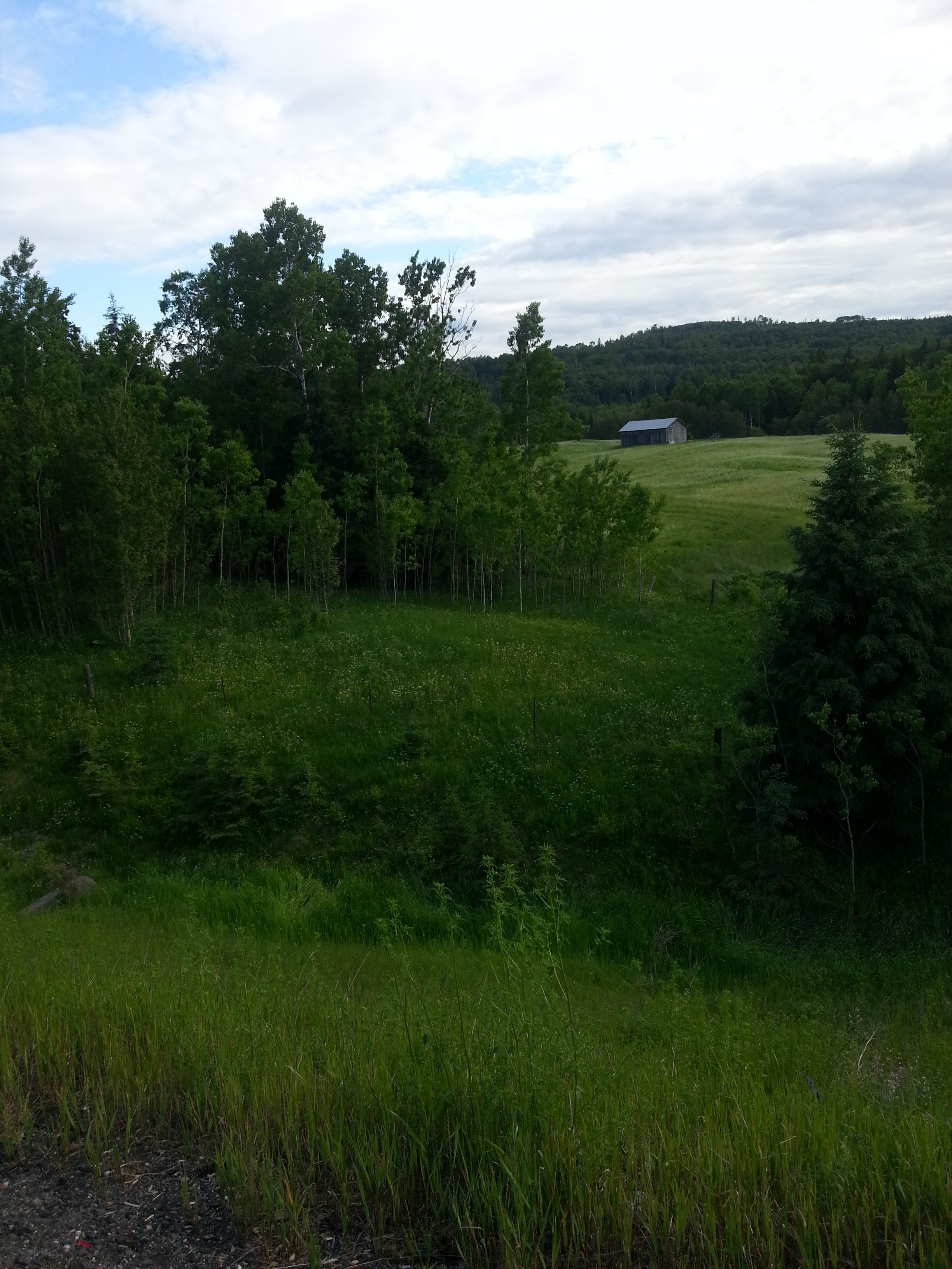
Cottage near Thunder Bay.
Also, rather than just undulating a little bit as they were before Thunder Bay, the road sometimes became like a repeating mountain pass that I would climb up only to go down and start again. Only these passes were still a little smaller than in BC. Rather than a 20 km climb, it would only be a 5 or 10 kilometer hike before the road went back down again. This repetitive up-down movement made the day a constant workout. It was definitely a workout to get through northern Ontario.
Even after Sault Ste. Marie, I still had rains following me as I made my way through the highways of northern Ontario. Even though the conditions weren’t the best, I even decided to ride my bicycle through the night again and make my way through Manitoulin Island and across to the Bruce Peninsula by ferry.
Finally, in central Ontario, I spent some time with my aunt in Penetanguishene and then got a ride to the train station in Toronto, so that I could catch a train to Ottawa and make it to Montreal in time to meet a friend. Unfortunately, trains to Ottawa from Toronto don’t have bicycle service, so I had to give up on Ottawa and went directly to Montreal instead.
![]() As usual I want to share some of my favourite pictures from the area. Ontario was a particularly large province and encompasses almost all of the rugged terrain of the Canadian Shield that I traversed, but it also had lakes, rivers, and other features as well. It is very difficult to sum up the changes in the terrain with just a few pictures, but I’ll try to at least convey some of the variety in the terrain.
As usual I want to share some of my favourite pictures from the area. Ontario was a particularly large province and encompasses almost all of the rugged terrain of the Canadian Shield that I traversed, but it also had lakes, rivers, and other features as well. It is very difficult to sum up the changes in the terrain with just a few pictures, but I’ll try to at least convey some of the variety in the terrain.
For a daily account of my cross-Canada journey in memory of my father, or to learn more about my charity, please visit: rideforrand.blogspot.com
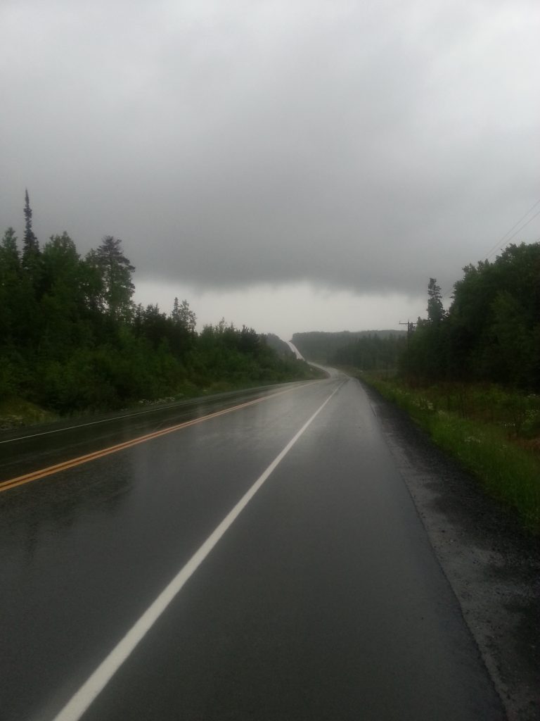
Rainy weather biking.
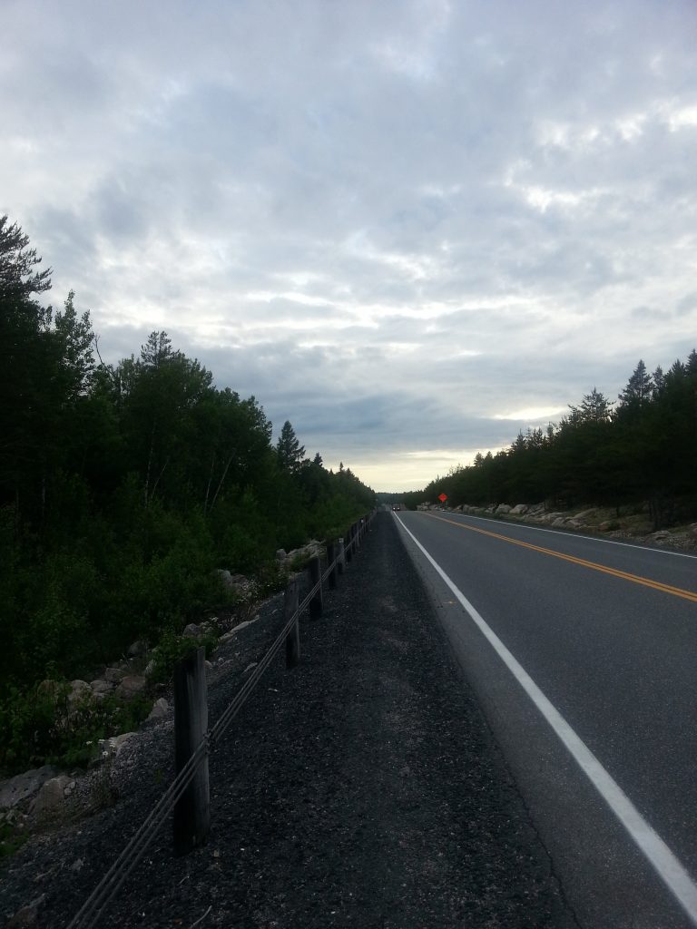
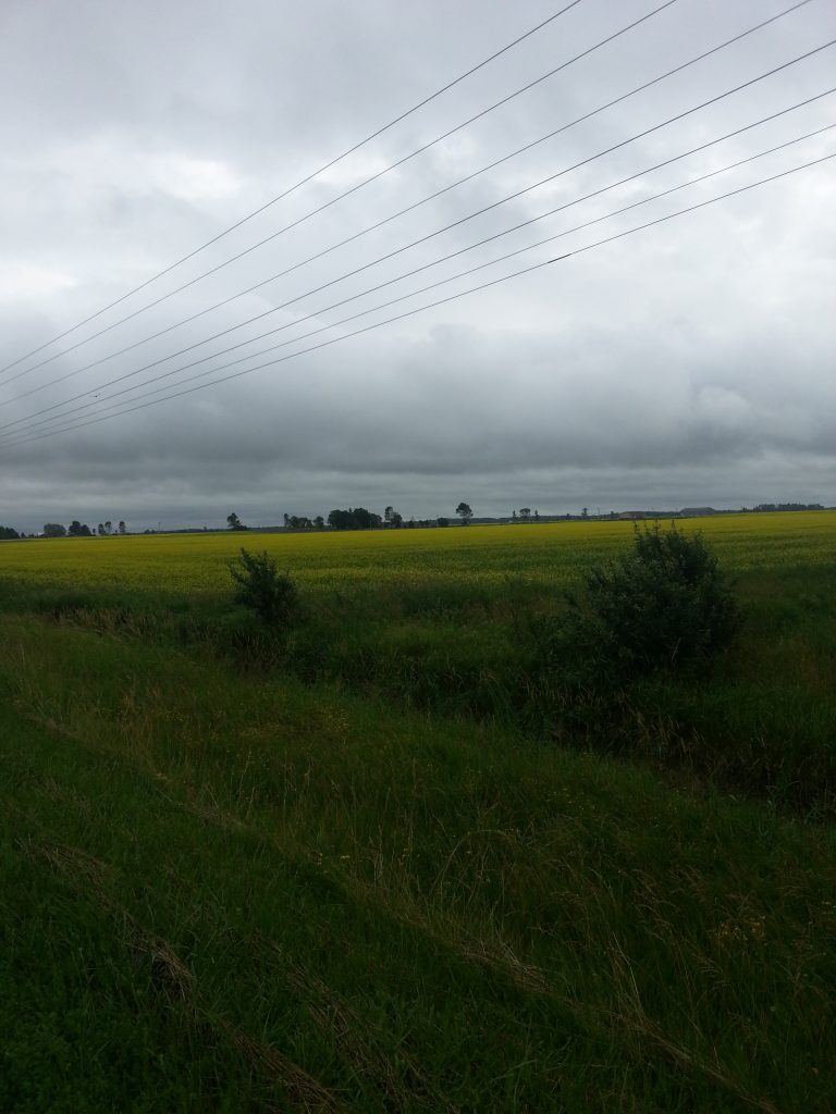
Typical Canadian Shield scenery.
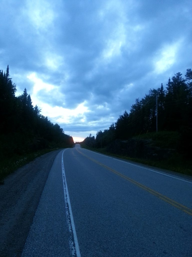
Blue dusk as I cycle through the night.
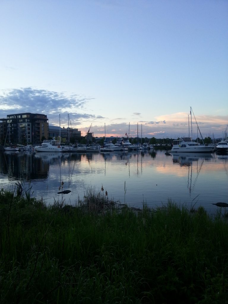
Dusk on the Bay, Canada Day.
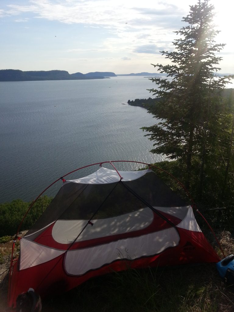
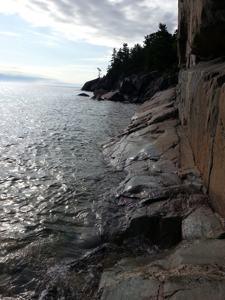
Setting up my tent on a cliff at Nipigon Bay

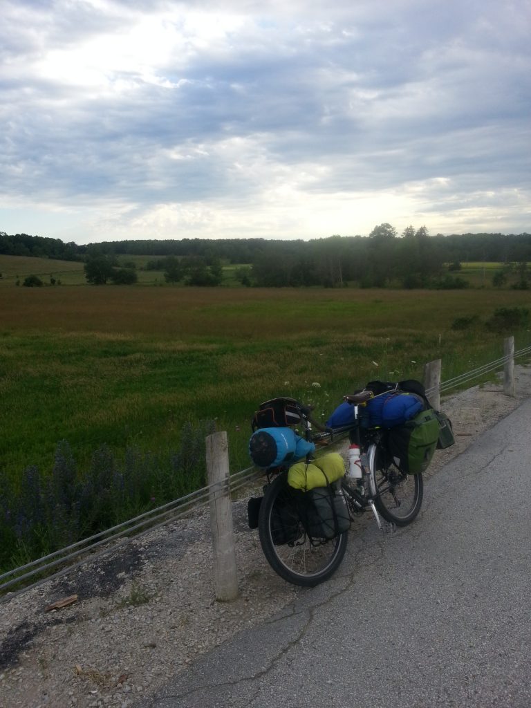
Typical Ontario cycling gear.
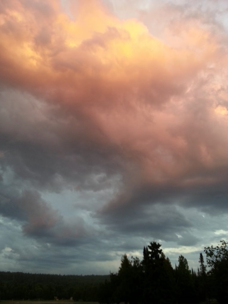
Glowing clouds.
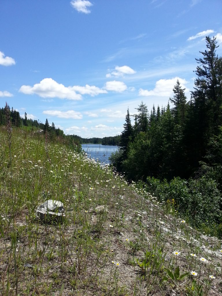
Cigar Lake.
At the petroglyphs in Lake Superior National Park.
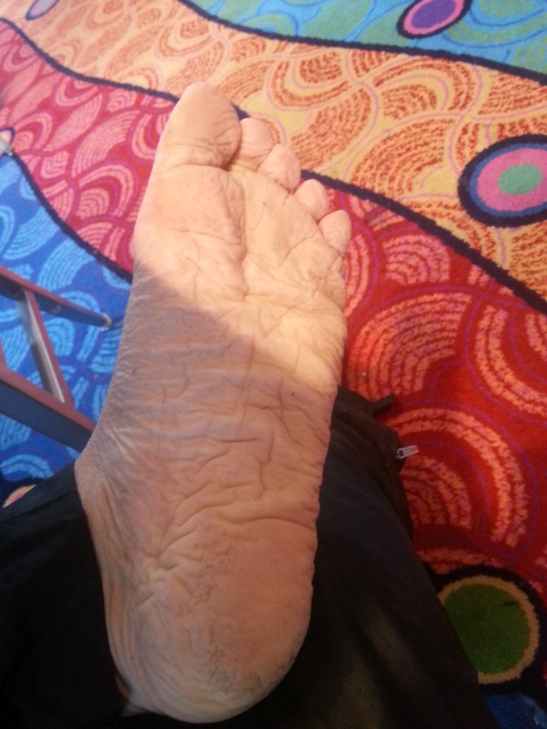
My foot after cycling more than 24 hours in the rain…
Near Pike Bay.
Near Collingwood.
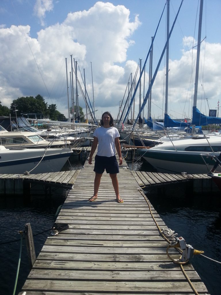
In Penetaguishine.