CURRENT PROJECTS
LAND LIDAR

PRIMED has performed grid modelling, emphasising the advantages of wind energy. This initiated discussions with the Council of the Haida Nation Marine Planning Program and Tll Yahda Energy. As a result, a land LiDAR system was deployed in September 2025.
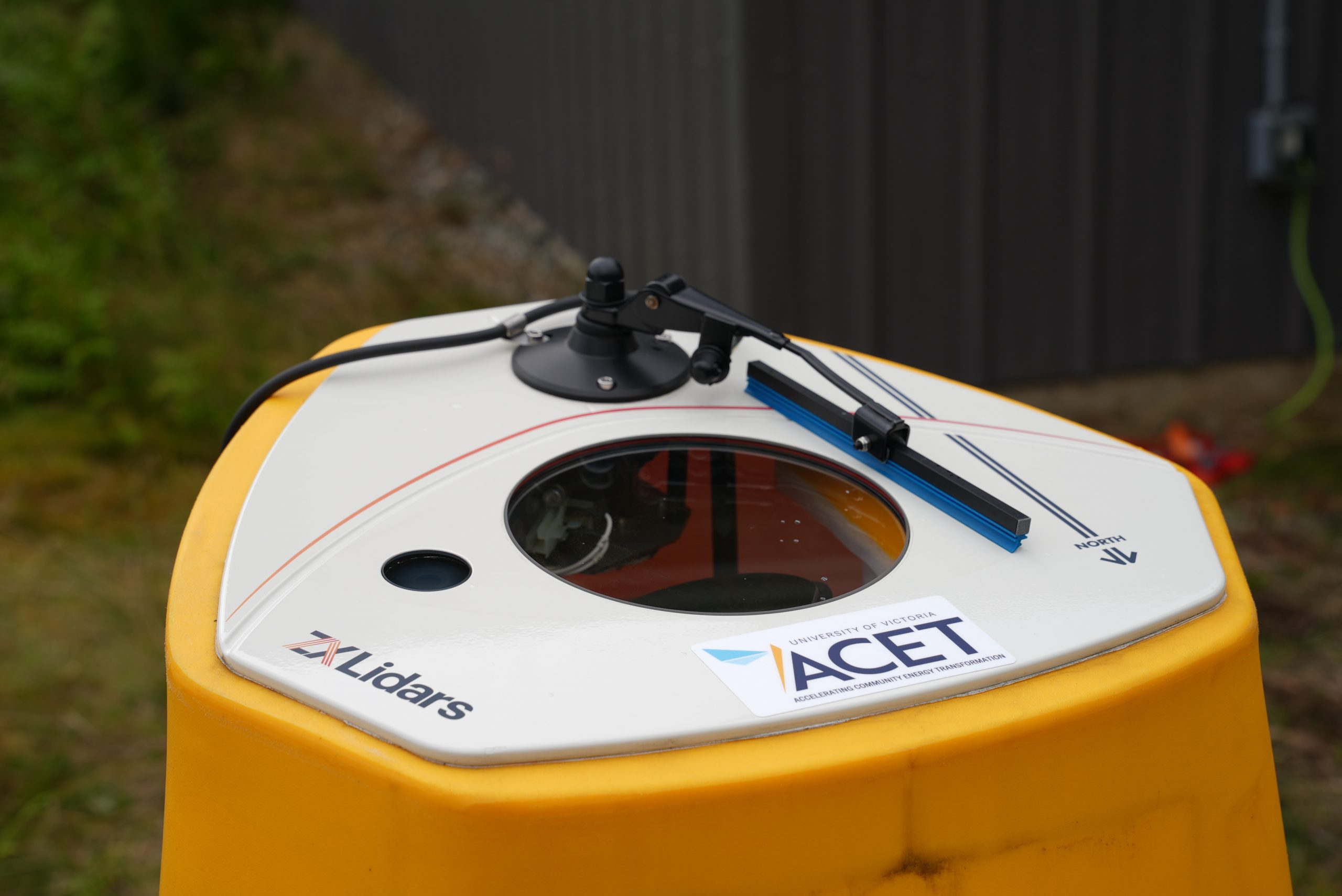
FLIDAR

Since November 2021, PRIMED and Axys Technologies Inc. have been collaborating on a performance verification study at Trial Island. The study involves a wind-tide-and-wave-measurement (FLiDAR) buoy and a land LiDAR station. The data from this deployment is being used to validate the accuracy of the buoy’s LiDAR data with a steady land-stationed LiDAR. Once the performance verification study is complete, the buoy will travel up to Haida Gwaii to be co-deployed with a land LiDAR station.
PAST PROJECTS
BUOY DEPLOYMENT
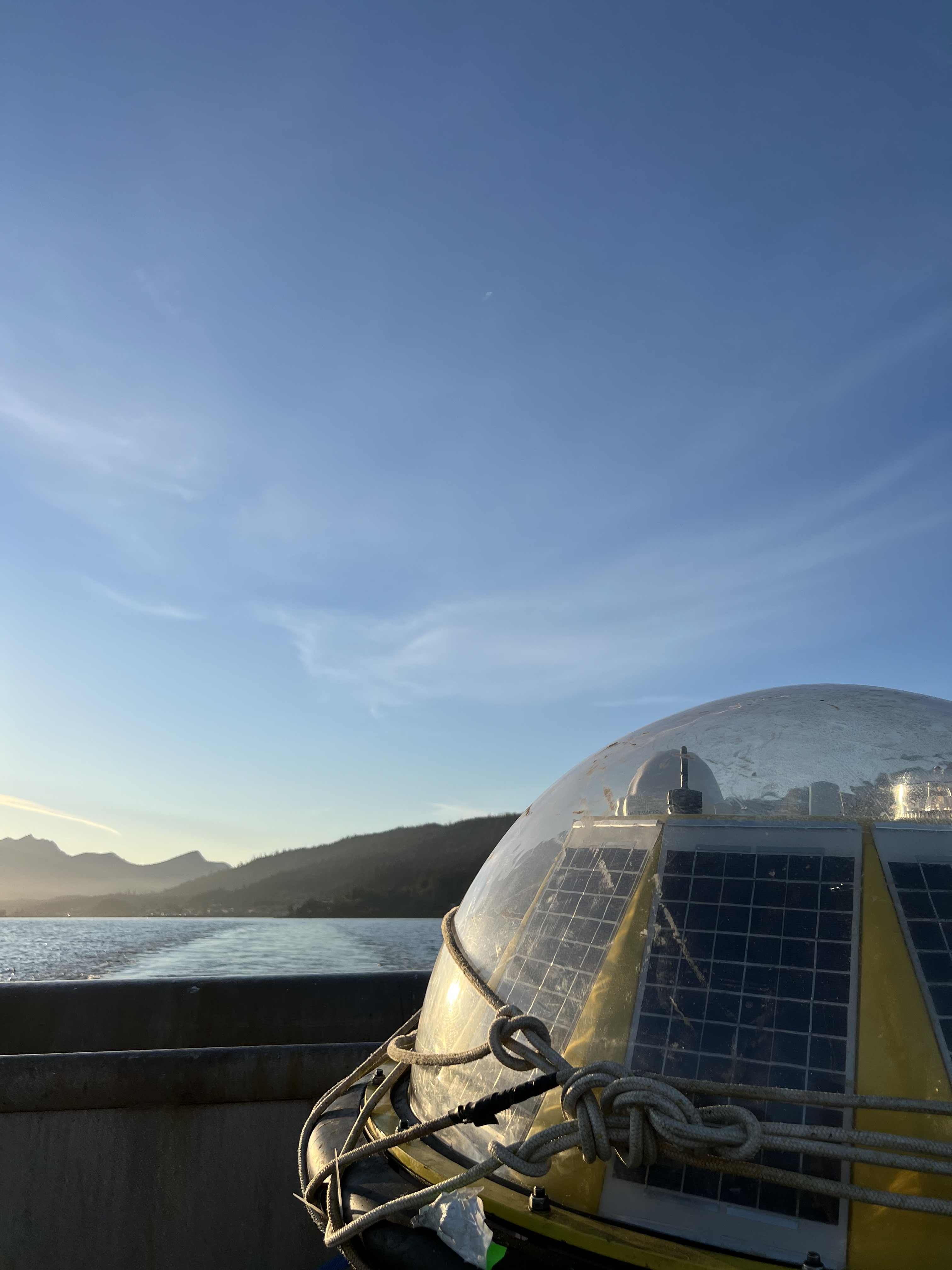
In 2022, collaborative discussions involving PRIMED, the Council of the Haida Nation, and Tll Yahada Energy led to the deployment of the Triaxys wave-measurement buoy in September of the same year. There was significant interest on the East Coast of Moresby Island for both, power production and the broader interests of Haida Ocean users. The buoy remained deployed for 10 months before being recovered in June 2023.

ADCP - SKIDEGATE
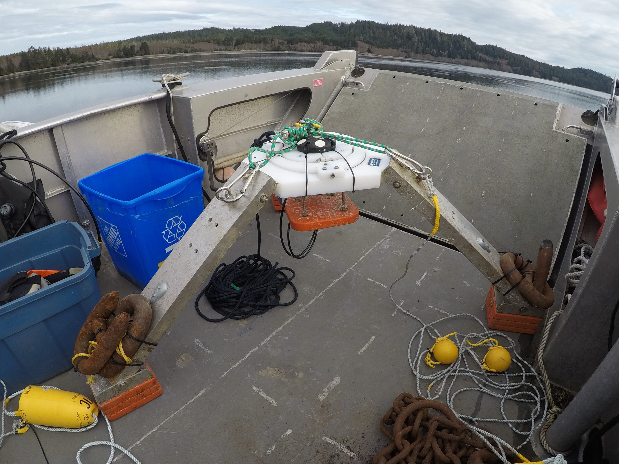
In June 2022, another ADCP was deployed in Haida Gwaii. This ADCP deployment was used to further characterize the tidal energy in Skidegate Inlet by developing numerical models and tidal energy maps.

ADCP - MASSET
In March 2022, an ADCP and tidal drifter survey were completed to answer outstanding questions regarding the quantity and quality of the tidal resource throughout Masset Inlet. Multiple stakeholders were involved in planning the surveys including the Haida Gwaii Marine Planning team, WEYL Power, and Yourbrook Energy.
