2022 was quite the busy year for PRIMED’s field measurement program!
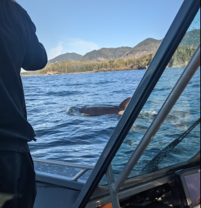
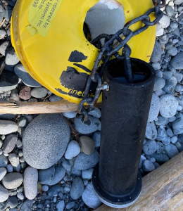
We started out the field season in February with a trip to Yuquot to attempt to recover our MarineLabs CoastScout buoy. In the peak of herring spawn, we were greeted by 100+ bald eagles and a pod of orcas, but unfortunately amazing wildlife encounters were all that we found. Our buoy had been carried off in a rough winter storm, and being deployed in an area without cell coverage, we were unable to acquire a live GPS signal. Chloe put up “missing” posters around Gold River and by some miracle, a kind hiker located and took coordinates of the remains of the buoy on a beach on the Nootka Trail. The Mowachaht-Muchalaht First Nation (MMFN) was able to employ a helicopter to retrieve the canister containing the memory cards so PRIMED could see exactly when the buoy started swimming freely, and what the waves were like in the area before then.
In the last week of March, PRIMED staff members Ben, Riley, and Chloe, plus grad student Aidan McKenna, travelled to Haida Gwaii to deploy an Acoustic Doppler Current Profiler (ADCP) to collect tidal current data in Masset Inlet. They met up with fellow renewable energy researchers Greg Trowse and Tristan Guest of LunaSea Solutions to collaborate on a drones and drifters survey in the same study area. The drone and drifters survey is a resource characterization method wherein “drifters” (some type of floating biodegradable object, like a pumpkin or block of ice) are deployed from a boat into the water en masse, then a drone is used to capture imagery from a stable position to track the surface current velocity based on its influence on the movement of the drifters. In this application, ice was used. GPS drifters were also used and tracked visually with the drone. Two drone flights with video capture of the drifter motion were completed over the area that the LunaSea ADCP was deployed.
The data from these surveys and ADCP deployments are gathered for the purpose of performing assessment of the resource for the area. This will be needed if the community decides to look further into installing a tidal energy converter in the future.
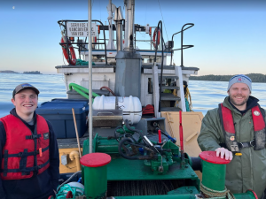
In May, Riley, Sean, and Chloe made the annual trip to Tofino to swap out two of PRIMED’s longstanding wave-measurement buoys for fresh ones. The WatchMate at Amphitrite Bank and the TriAXYS at Long Beach were recovered and replaced with alternates so the originals could be brought back to shore for data collection and maintenance.
July brought another trip to Haida Gwaii for Riley, Ignacio, and Chloe to recover the Masset Inlet ADCP and deploy a new ADCP in Skidegate Inlet. Haida Gwaii is not known for hot summers and the field staff wore wool sweaters every day of the week they were there!
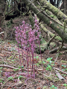
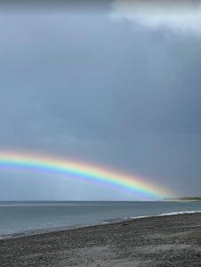
They did see some orchids in the wild and a few incredibly vivid rainbows, though!
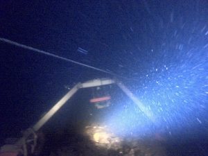
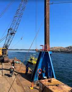
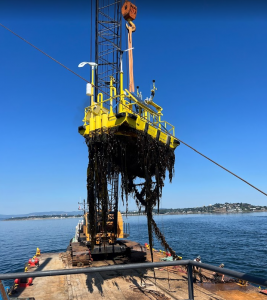
At the end of July, it was time to recover the 6 meter FLiDAR wind-measurement buoy off the coast of Trial Island, near Oak Bay. During a heat wave in Victoria, it was pleasant to be working on the water for a day to cool off. The Salish Sea Industrial Services crane barge, plus two tug boats aided in removing the large and cumbersome buoy from its station to be brought to shore for maintenance. During the ~7 months of being deployed, it sure did accumulate a whole lot of kelp!
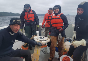
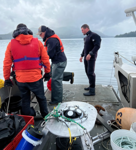
On the first day of September, Sean and Chloe returned to Gold River to recover a TRIAXYS from Yuquot, where it had been measuring wave data for the previous year.
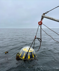
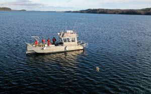
The following week, Riley, Ignacio, and Chloe made one final trip to Haida Gwaii to recover the Skidegate Inlet ADCP and deploy a TRIAXYS wave-measurement buoy in Hecate Strait.
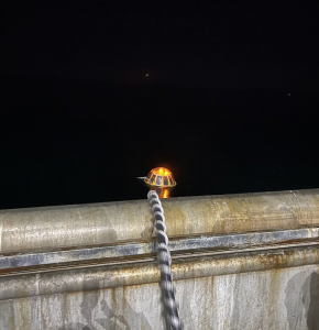
They met some very friendly pets, witnessed a pink salmon run, and performed PRIMED’s first ever moonlit buoy deployment.

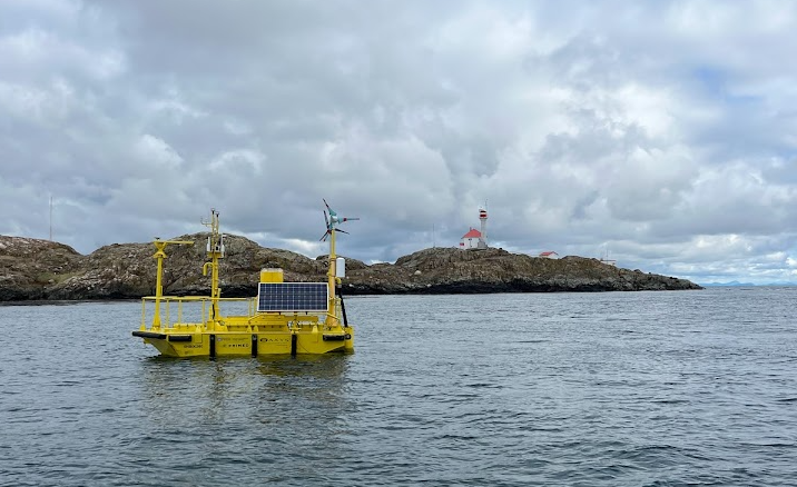
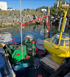
By early November, the FLiDAR buoy had been maintained by the AXYS Technologies team and it was ready to return to its station off of Trial Island. It is co-deployed with a land-based LiDAR on one of the red-roofed buildings on Trial Island. Both the land-LiDAR and the Floating LiDAR take wind speed and direction measurements concurrently, allowing PRIMED to complete a validation study to ensure that the buoy’s LiDAR measurements (which are corrected to account for the buoy’s movement in the water) are consistent with the immobile land station. This study should be complete in Spring of 2023.

Happy Holidays and talk to you in 2023!