
The following maps encompass a visual narrative of the research undertaken on class and streetcar development in Victorian society from 1890-1948. It has been divided in to four main time periods:
1890-1899: Period of Implementation
1900-1919: The Height of Construction
1920-1938: Interwar Period
1939-1948: The Peak of Ridership and the End of the Streetcar
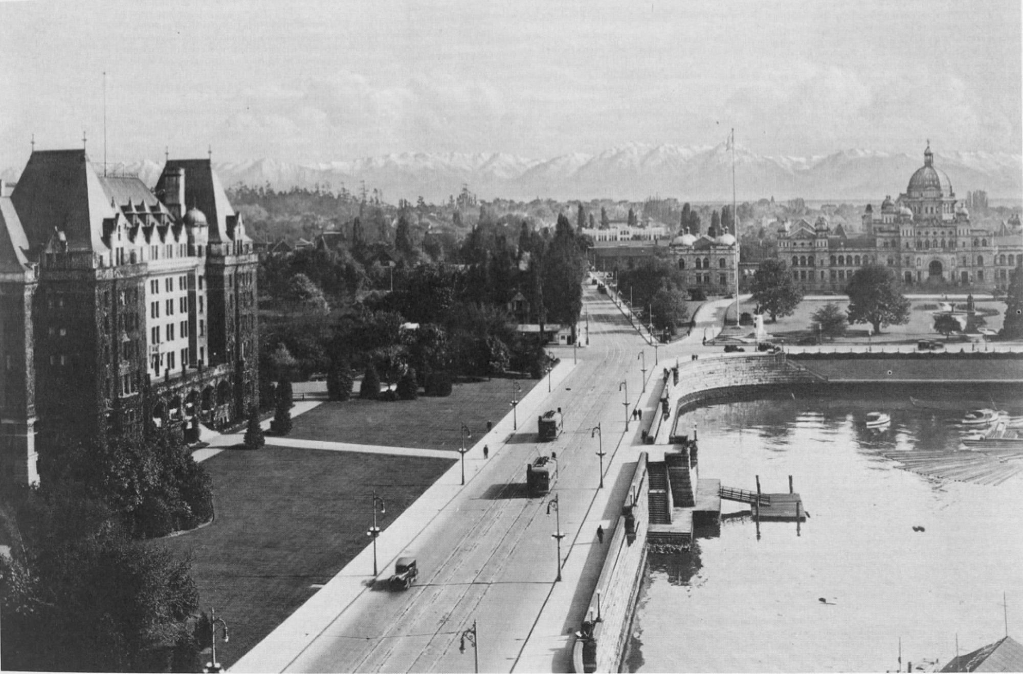
Below are static versions of the story maps. Clicking on the image or the links below will lead you to the full interactive versions of the maps, hosted on ArcGIS. From there you can click on points of interest, streetcar lines, and regions, zoom in and out, and toggle layer visibility.

1890-1899: Period of Implementation

1900-1919: The Height of Construction

1920 – 1938: Interwar Period

1939 – 1948: The Peak of Ridership and the End of the Streetcar
