Victoria Fire Maps:
- Victorias Fire-maps are an incredibly useful tool for researching where Chinese Laundries were located throughout the city as well as what kind of accommodations or hazards may have been seen.
- The Victoria fire maps are also important for viewing any changes in locations of the laundries from 1902-1911.
- Using the fire maps we were able to cross reference and see what changes to streets and locations have happened throughout history.
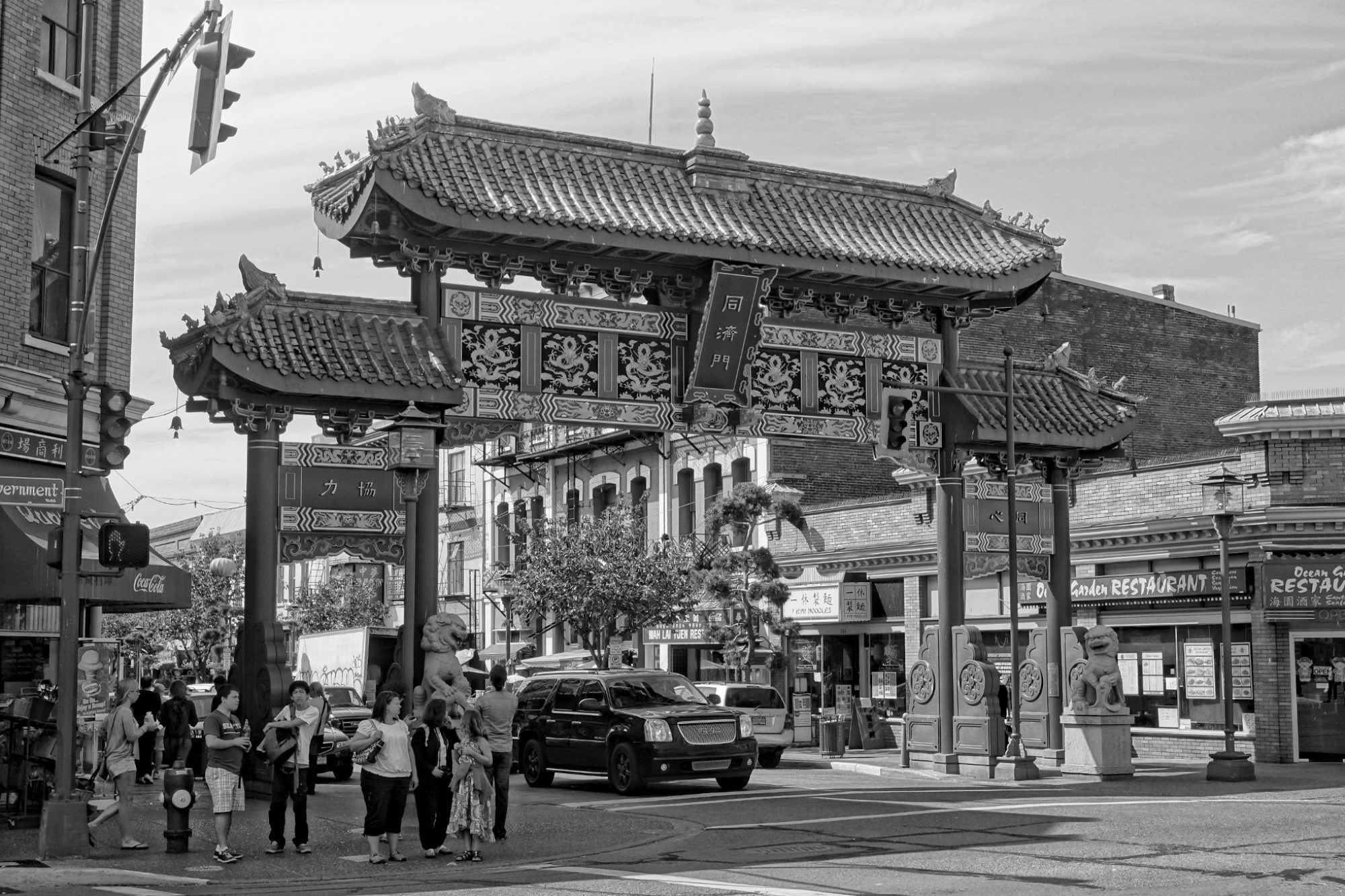
Fisgard and Government St.

- Then and Now of the 1911 fire insurance map located at Fisguard and Government St.
- This area is where many of Victorias Chinese laundries were concentrated
- Notice the change in name from “Fisguard” to “Fisgard”
View and Fort St

- Fire Insurance map showing Fort and View St parallel to eachother
- In-between Fort and View were many small Chinese run laundry businesses
- Many Chinese laundries were concentrated in the core of downtown