Two summers ago I was a student in the first running of the field course (we were awesome Guinea pigs). I was paired with two other students to do fieldwork with, and we decided to do our final project on the use of Reflectance Transformation Imaging (RTI) on gravestones that had inscriptions that were either in danger or completely illegible. We got to experiment with this photographic technique, and were able to produce some workable results (emphasis on the workable).
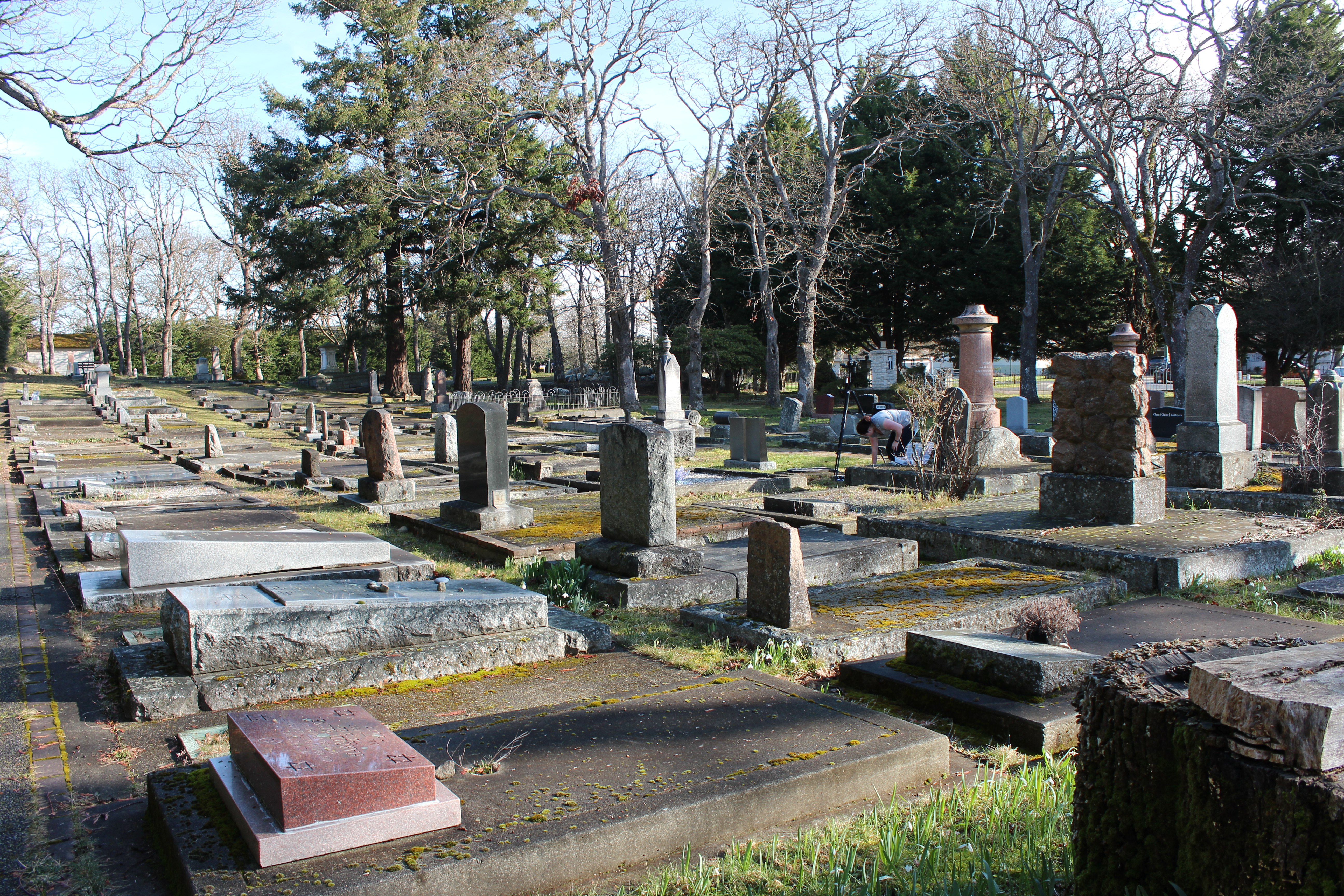
 Holocaust memorial in the sunlight. Image by M. Heizer February 2017.
Fast forward two years, and I am still working on this project. This past summer I returned to the cemetery to volunteer with the class, and came up with the brilliant idea (if I do say so myself) to apply for a Jamie Cassels Undergraduate Research Award, allowing me to continue working in the cemetery outside of this class. I received the JCURA, meaning that I received a scholarship and had 8 months to work through my proposed research project, before presenting it with the other award recipients from all over campus and a range of departments.
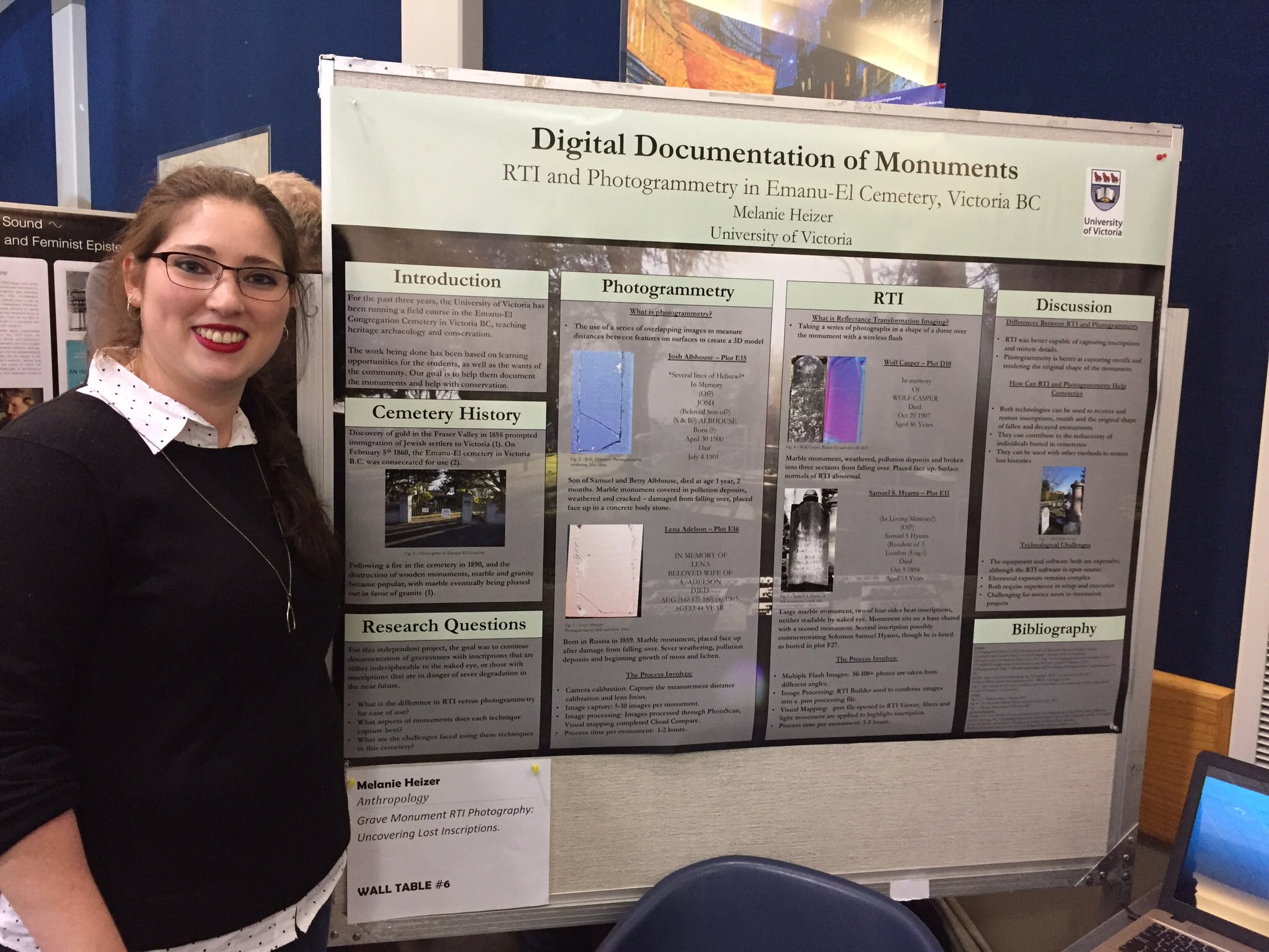 Melanie Heizer Presenting Jamie Cassels Undergraduate Research Award. Image by Dr. Erin McGuire March 8th 2017
A basic overview of the project:
To perform burial monument photography, looking at lost inscriptions using RTI and photogrammetry. These records are to be added to the in progress database of burial records being compiled for the Emanu-El congregation, and the greater community.
RTI Photography – By using an external flash, we were able to take images of the chosen burial monuments. The camera is set up above or in front of the stone, depending on its placement in the cemetery. Using a remote shutter release, we then take a series of photographs with the flash being moved for each image, highlighting the stone from different angles and positions. This part of the process could take up to an hour and a half, depending on the weather, the flash’s willingness to cooperate, and our technical abilities. We would take between 50 and 120 images, give or take.
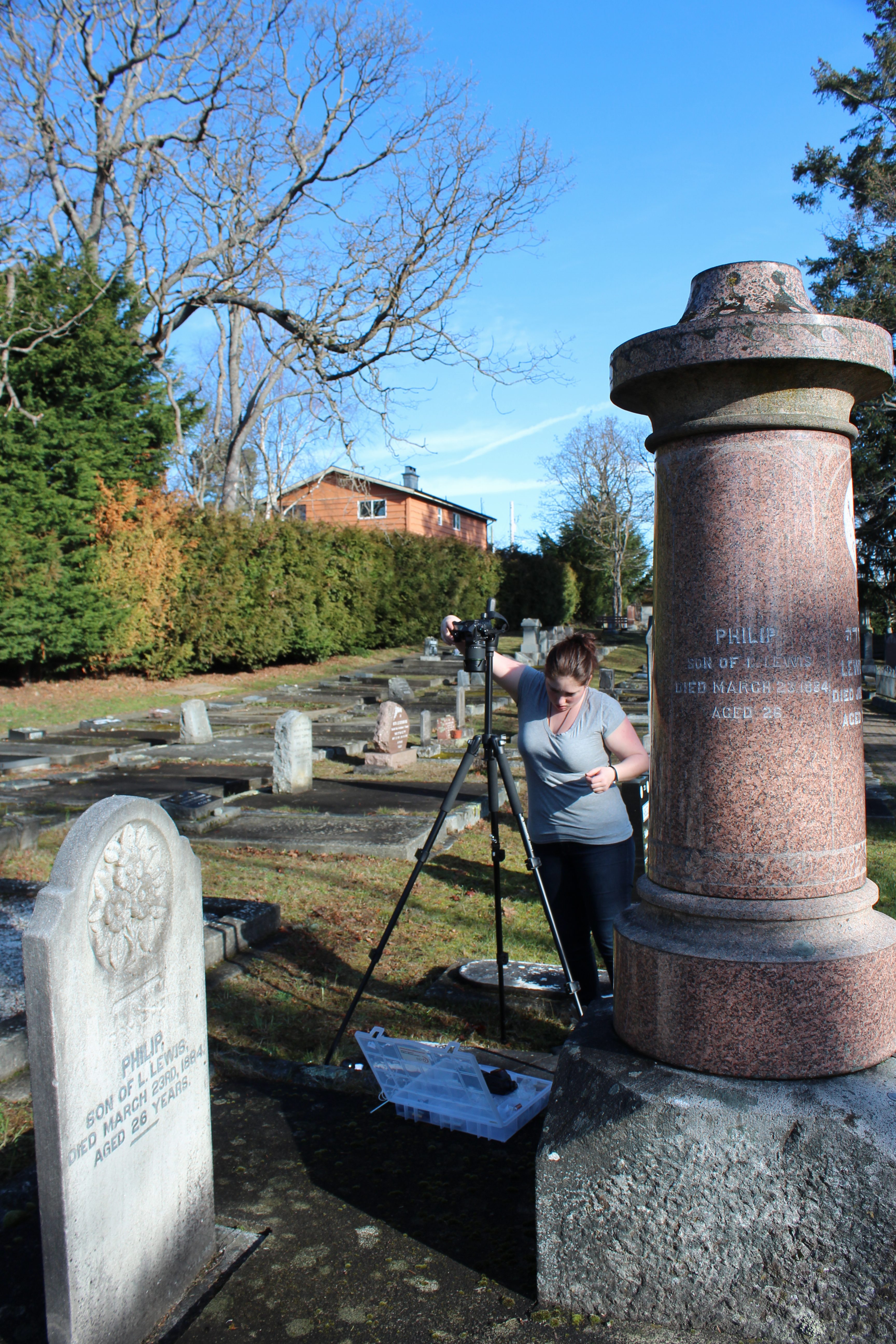
Melanie Heizer pictured setting up RTI. Image by Myriam Desgroseillers February 21st 2017.
The next stage of this technique was marginally faster than the image capture portion. This part was the image processing. If we shot in RAW image format, there was a long process of converting the files to JPEGs. Next, the images get run through software called RTIbuilder, provided by the Cultural Heritage Imaging group. After the images were rendered into one large file, called a Polynomial Texture Map (.ptm), we could manipulate the angle from which the light came from, highlighting different parts of the stone and illuminating the inscriptions to varying degrees. In total, this process, from start to finish, took me upto 3-4 hours per monument. This does not including the image type conversion, one evening I spent 4 hours converting each image manually. Needles to say, I was not using the most efficient program, and later figured out how to do a batch change of all the images at once.
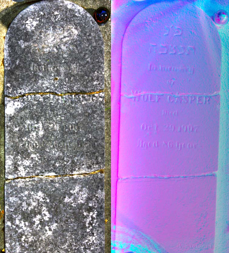
Wolf Casper – RTI. Before (L) and after (R). RTI surface normals abnormal, but workable. Images by Zoe Deneault, Melanie Heizer and Kim Kuffner, June 2015.
Photogrammetry – As you will quickly see, this is my personal favorite photographic technique for this particular project. Compared to RTI, photogrammetry was far less time consuming and less complicated. Camera calibration is necessary before beginning the photographic process. To do this we chose a surface to photograph that was textured, had depth, and was long enough for us to take photographs from three depths in a triangular format.
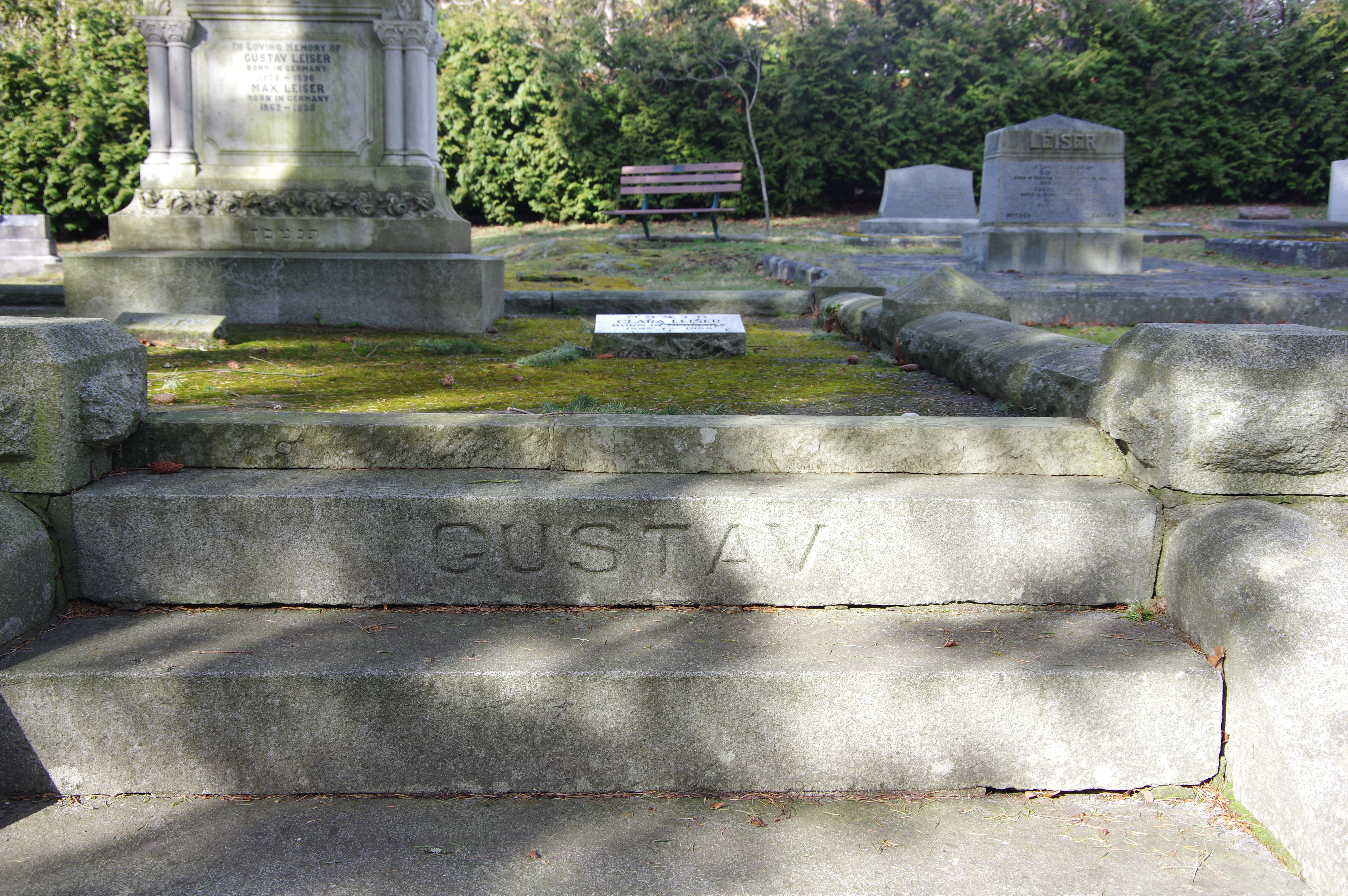
First image taken for camera calibration.
After this process collected the depth and mapping data needed, the photography commenced. And get this, it was super simple. I took 5-7 images per monument. It took very little time! I had to remember not to touch the zoom, because that would mess up the calibration (luckily I remembered and we didn’t have to start again). These 5-7 pictures were overlapping from top to bottom of the monument. Each picture overlapped with the next. The purpose of this is so that when we input the images into the software, the images would get mapped overtop of each other and create a 3D model of the monument! All together, this process takes about an hour, maybe an hour and a half all together, from image capture to having completely rendered the 3D image.
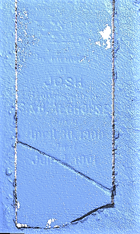
Josh Albhouse – Photogrammetry. Plot E15. Image by M. Heizer March 2017.
For the time being, we are looking at continuing on using photogrammetry in the Emanu-El cemetery. It gives a digital 3D record of the monument that we will hopefully be able to incorporate into the record database we are working to create. It is a process that, given access to the albeit expensive software, we could easily and efficiently teach as a part of the field course. Plus, it’s super fun seeing the results and discovering things about monuments or people that we might not otherwise have known!